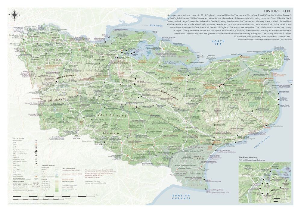
For those with an interest in the history and archaeology of Kent, this map displays around 300 places of historical interest that can be found within the former and modern boundaries of the county. Places ranging in date from the Palaeolithic (Old Stone Age) to the Second World War are shown, as are the old hundreds and lathes (as they stood around 400 years ago) that the county was once divided into.
An additional map shows the 17th, 18th and 19th century Medway defences of Chatham and Gillingham.
The map will be posted in a 45cm long tube. Postage is included in the price.
Map size: A2 Single-sided Year: 2026 Paper type: Uncoated 170gsm